
How can every tree planted in the City of Hamilton be tracked?
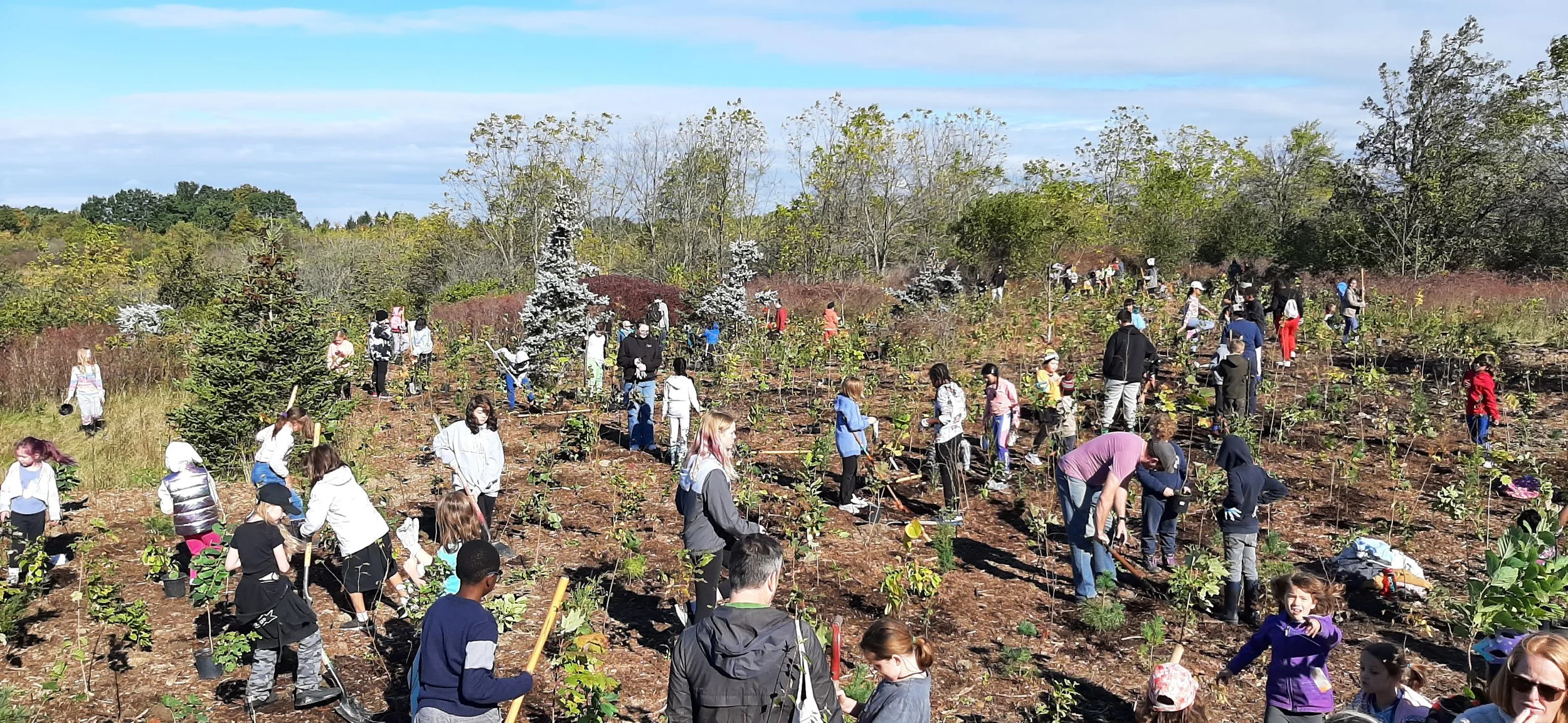
Project Description: Hamilton’s Urban Forest Strategy lays out a long term commitment to grow, protect, and care for the trees that make up its urban canopy. The City of Hamilton has committed to increasing Hamilton’s canopy cover to 40% by 2050.
Hamilton’s urban forest is made up of a diversity of trees found on streets, parks, residential neighbourhoods, and on commercial and industrial areas on private and public land. The Urban Forest strategy recognizes that to achieve the canopy goal, coordinated action across public and private lands will need to occur through programs, policies, and partnerships to guide tree planting, protect mature trees, and ensure long-term forest health. The City of Hamilton has established GIS models to track City-owned trees; however, there is a need to collect and record tree data from external sources such as private landowner based plantings, Conservation Areas, schoolgrounds, utility corridors, etc.
The City of Hamilton is interested in developing an easy to use web-based mapping tool which would allow the public to submit tree data such as planting year, number of trees, species, tree source (e.g. free tree giveaway), tree planting partnerships, volunteer hours, and future tree health information.
It is very important that the mapping tool is easy to use as well as being designed to be self-sustainable which requires minimal maintenance to function or operate into the future. Ideally this tool could integrate the data with ArcGIS.
City Staff: Cherish Gamble, Public Works Department
Deliverables: Secondary research, Design, Pilot, App development
Project Start Date/ Availability: Fall 2026
Location: City Wide
City Strategy Priority: Community Engagement and Participation, Economic Prosperity and Growth, Clean and Green, Built Environment and Infrastructure, Healthy and Safe Communities